Identifying the communities most vulnerable to extreme heat

Identifying the communities most vulnerable to extreme heat

As periods of extreme heat are becoming more frequent, RMIT Vietnam’s research shows how heat affects different communities and how governments can respond more effectively.

With temperatures rising across Southeast Asia, researchers are paying closer attention to the communities most at risk from extreme heat.

“Unlike disasters such as flooding, where the impacts are immediately visible, urban heat is much less understood,” said Dr Seng Kiong Kok, a researcher and Head of Undergraduate Business Programs at The Business School, RMIT University Vietnam.

“This makes it harder for governments and communities to know where support is most needed.”

To help bridge this gap, researchers at RMIT Vietnam are collaborating as part of an international research consortium working across Thailand, Cambodia and Vietnam to better understand urban heat and develop evidence-based strategies that help cities become more climate resilient.

Dr Kok co-leads RMIT's contribution to the 12-month ‘Heat Adaptation in the Mekong Region (HAMR)’ project which brings together the Thailand Environment Institute (TEI), RMIT Vietnam, Alluvium International, and the Royal University of Phnom Penh (RUPP).

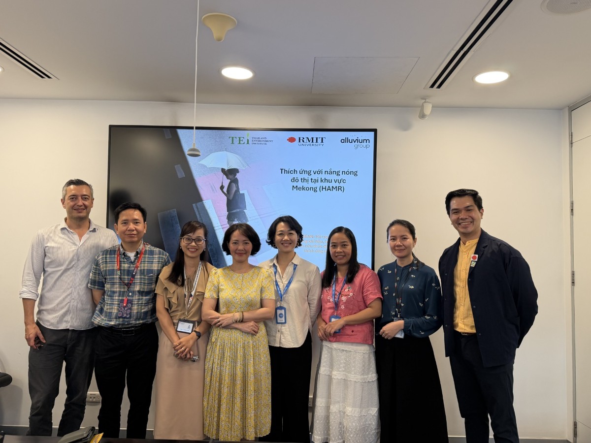
Group photo of eight peopleRMIT researchers met with representatives of the Vietnam Women's Academy to discuss the project. (Photo: RMIT)

Looking beyond temperature

One of the project's first milestones has been the development of a heat vulnerability map for Hanoi.

Rather than measuring temperature alone, the mapping approach combines satellite imagery with socio-economic indicators to identify neighbourhoods where residents may be more vulnerable to the impacts of extreme heat.

“Two communities may experience similar temperatures, but their ability to cope can be very different,” Dr Kok explained.

“We wanted to combine environmental data with additional indicators, such as wealth and age, so policymakers and community organisations can better understand where vulnerabilities exist and why.”

The approach builds on earlier work undertaken in Ho Chi Minh City and has since been extended to Hanoi, alongside parallel studies in Phnom Penh (Cambodia) and Nakhon Ratchasima (Thailand). Designed to be scalable, the methodology could eventually support heat vulnerability mapping across more Vietnamese cities.

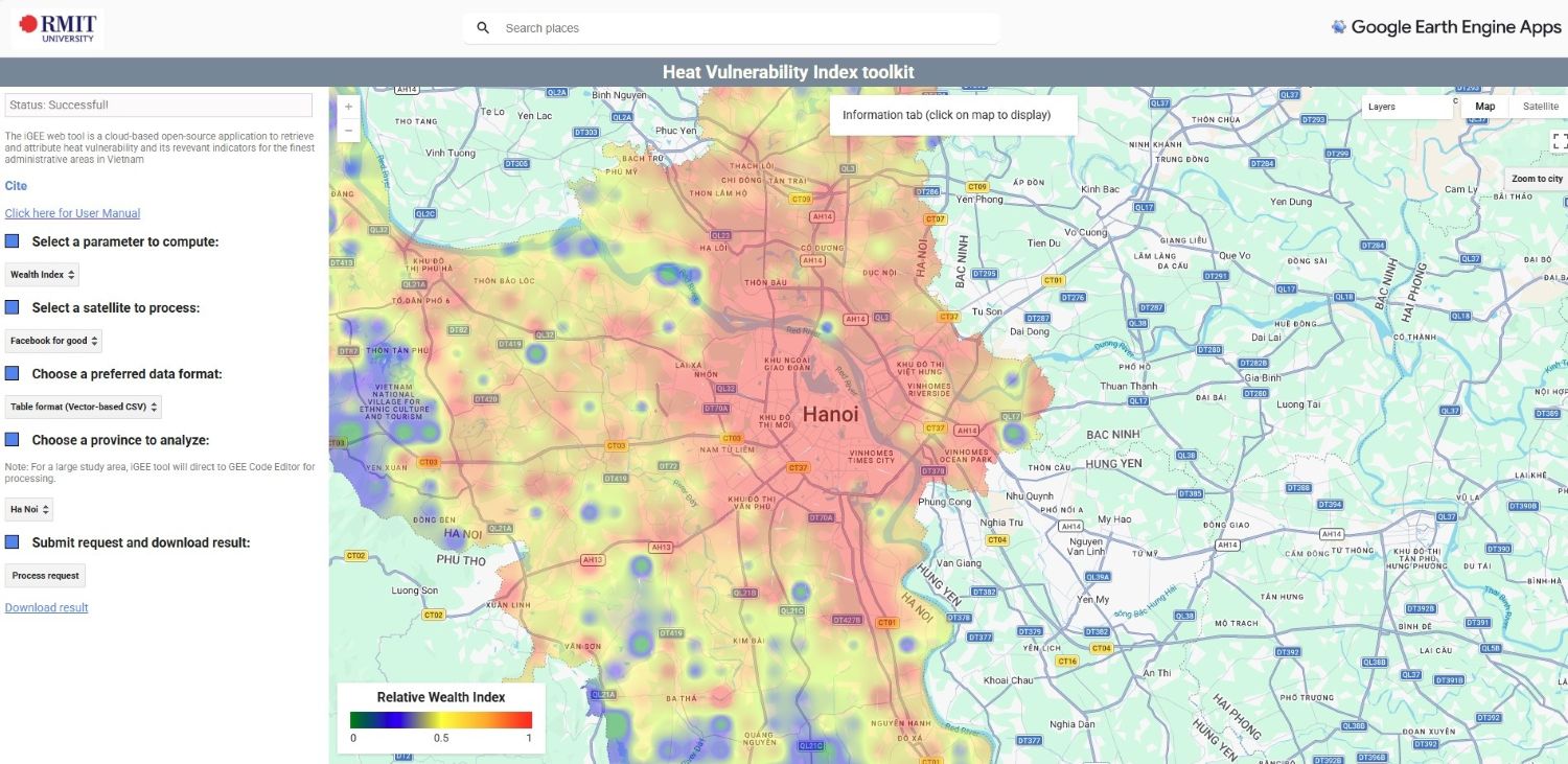
Screenshot of the heat mapRMIT-designed heat vulnerability toolkit, currently displaying the 'Wealth Index' layer for Hanoi. (Image: RMIT)

While satellite imagery provides an important picture of urban temperatures, it cannot fully explain how people experience heat on the ground.

Local conditions like tree cover, shade, building density and airflow can significantly influence how hot a neighbourhood feels, even when surface temperatures appear similar.

To better understand these differences, the research team is validating its heat vulnerability model through community surveys and localised mobile weather station data, comparing technical insights with residents’ lived experiences. This combined approach helps build a more complete picture of where heat poses the greatest risks and why.

Connecting science with policy

Understanding urban heat is only part of the challenge. Equally important is turning research into policy and practical community action.

To date, the team has engaged policymakers, urban planners, NGOs and civil society organisations in Vietnam through a series of stakeholder workshops, including representatives from the Ministry of Agriculture and Environment, the Vietnam Institute for Urban Planning, CARE Vietnam, World Vision Vietnam, Vietnam Red Cross and the Vietnam Women's Academy.

These discussions revealed a common challenge: while many organisations recognise urban heat as an increasingly urgent issue, there is still limited guidance on how different sectors should coordinate responses.

“We all know urban heat is becoming a major issue, but there isn't yet a clear pathway that connects scientific evidence, policy decisions and community action,” Dr Kok said.

“Our role is to help build that evidence, so decision-makers have clearer information when planning future interventions.”

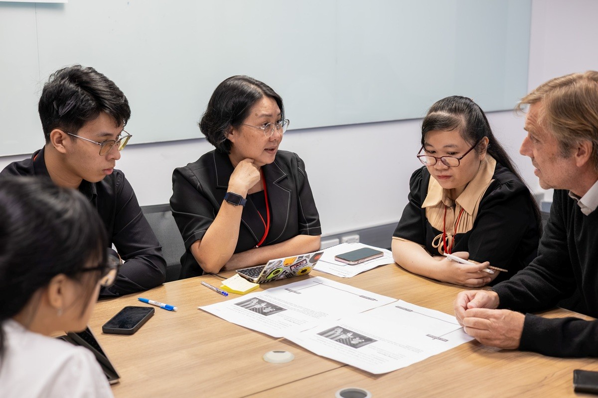
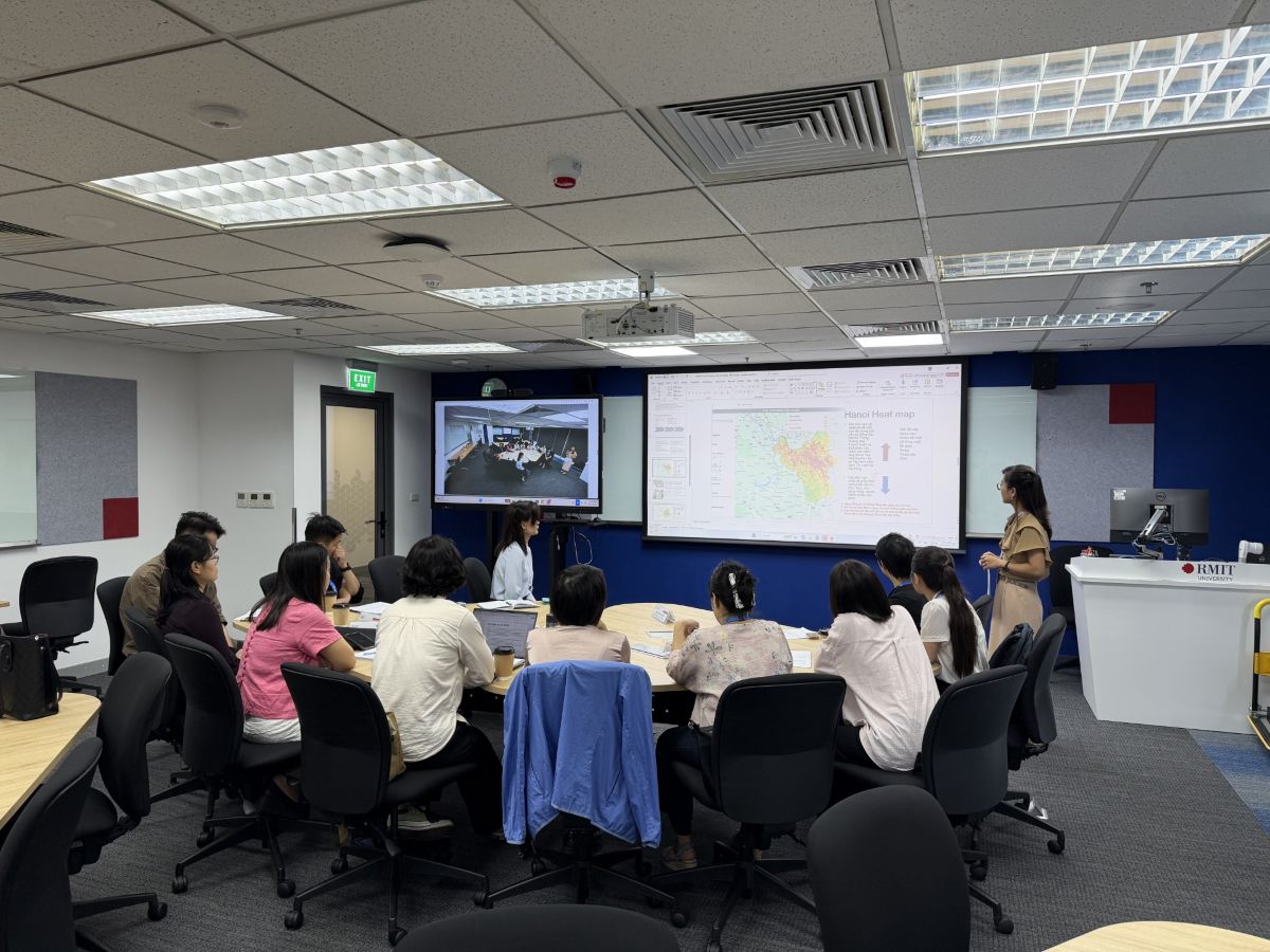
Group of people in a classroom A focus group discussion hosted by RMIT with stakeholders working in the heat arena, including World Vision Vietnam, CARE Vietnam and Vietnam Women’s Academy. (Photo: RMIT)

Heat vulnerability data can help inform a wide range of decisions, from identifying where additional green infrastructure or cooling corridors may be most effective, to supporting building design, public health planning and targeted community initiatives.

Simple interventions, such as strategically locating shaded public spaces or providing cooling stations for outdoor workers, could become more effective when informed by robust evidence on where heat vulnerability is greatest.

Building climate resilience across Southeast Asia

Climate adaptation is not only an environmental challenge but also a social one.

Older adults, young children, outdoor workers and lower-income households often experience higher levels of heat vulnerability due to limited access to cooling, healthcare or other resources.

Therefore, integrating social vulnerability into urban heat assessments can help policymakers prioritise resources and develop adaptation strategies that prioritise those most at risk.

Looking ahead, Dr Kok and his fellow researchers hope to contribute to clearer urban heat planning guidelines, stronger health indicators and more coordinated responses across government, industry and community sectors.

The team's ambition extends beyond individual cities. “We would like to eventually map heat vulnerability across Vietnam and beyond,” he said.

As climate change continues to reshape cities across Southeast Asia, stronger evidence will be critical for urban planning, policy development and community-led interventions that better protect those most vulnerable to extreme heat.

Story: Thinh Nguyen

Related news